When finding yourself in a new city with a new language, it may be a bit intimidating to begin navigating everything. Especially when that city expands 1,249 square miles (3,235 square km) of metropolitan area. Luckily, I made all the mistakes so that you don't have to! From your plane's touchdown in the Barcelona airport to maneuvering the underground metro train, I've got you covered.
Leaving the Airport
Upon arrival in Spain, it's easy to feel overwhelmed when locating your transportation from the airport. Once you've tracked down your luggage, exchanged your US dollars for euros, and hopefully gotten a coffee for your 24-hour travel day, it's time to decide how you would like to get to your final destination. You can use public transportation such as the bus, train, or metro, all of which cost 4 to 5 euros with a duration of about 40 minutes each.
Personally, I opted for a taxi since I was traveling late at night with multiple large bags. I arrived at Josep Tarradellas Barcelona-El Prat Airport (BCN), and the taxi ride was about 20 minutes and costed around 30 euros. To find the taxis, follow the taxi signs at the airport down to the lower level where you'll wait in a line to enter an official yellow and black taxi. This is different from the United States's ride-sharing system like Uber and Lyft, so make sure to only ride in the yellow and black cars!
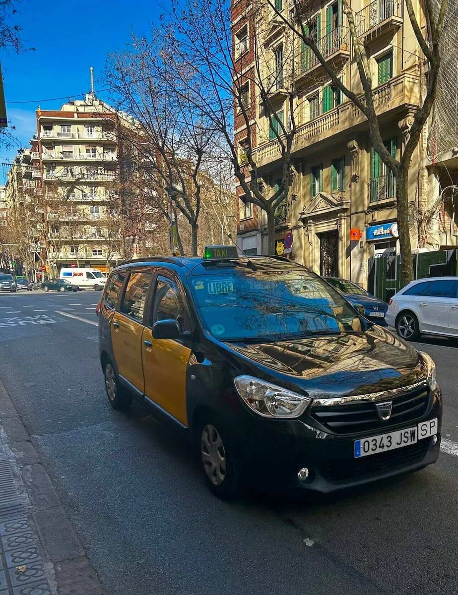
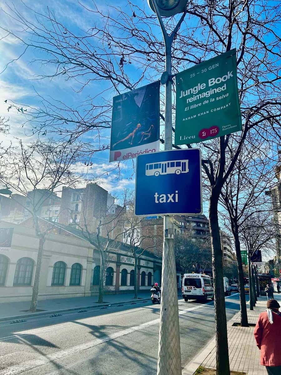
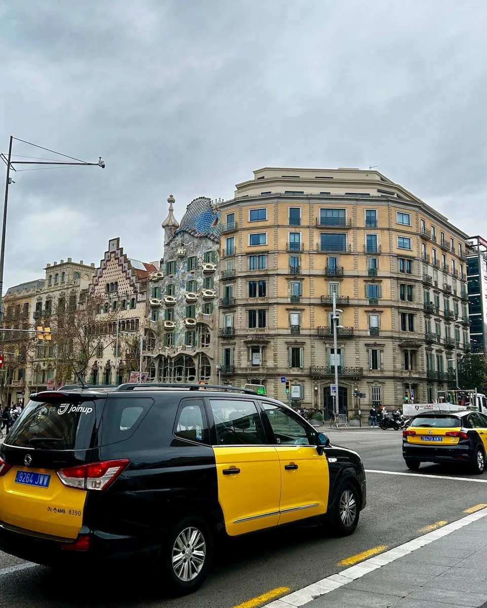
Pictured above is a yellow and black Barcelona taxi as well as a sign that you would see at a taxi stop. In addition to flagging down a taxi the old-fashioned way, you can also use the app FREE NOW which is very similar to Uber used in the US!
Using Google Maps
For the first few weeks, Google Maps and Apple Maps will be your best friends when getting around the city. These mobile applications show routes on the metro and buses, as well as walking directions. After typing in an address you can easily select which route you'd like to take. If, for example, you are taking the metro to school, you'll see that you first have to walk to the metro entrance, ride the metro, and then walk to class. The map will provide you with step-by-step directions for whichever metro line you're taking, the direction you'll be going on that line, and where the entrance and exits will be.
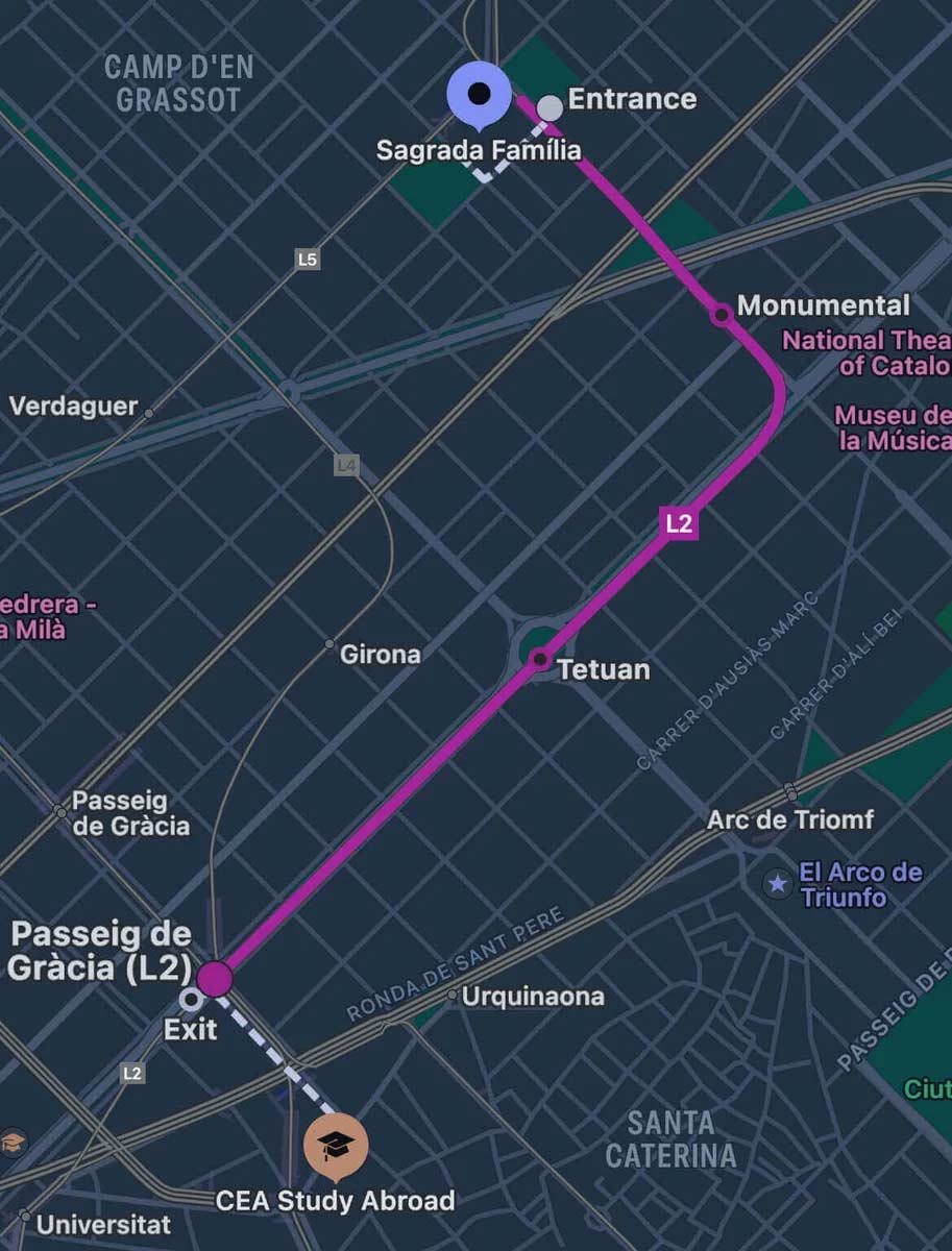
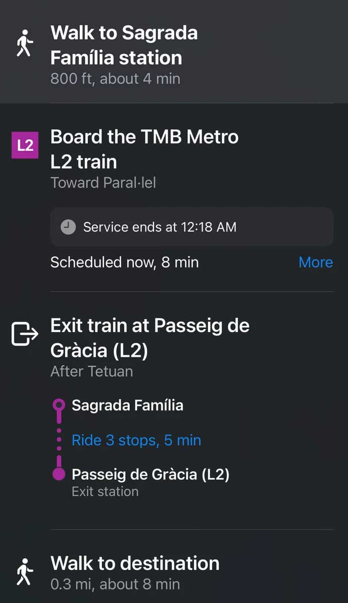
These screenshots are taken from Apple Maps which show metro directions from La Sagrada Familia to the CEA CAPA Study Center. (Note: Please keep in mind that directions and travel time may change based on time of day and the day of the week.)
Taking the Metro
For me, the metro was the most intimidating form of transportation in the city. Back home, we don't have an underground train system. So, walking into the metro station felt like an entirely new planet. However, after a few weeks, I was taking the metro like a pro!
My first tip for entering the metro is to already know before you enter the station which line you're taking and in which direction. This is so you're not on your phone and maneuvering the busy station distractedly. You can see this information in the Apple Maps screenshots above. L2 is the line that you would take and Parallel (referring to Avinguda del Parallel, one of the city's main streets) is the direction. There will be big color-coded signs in the metro to point you in the right direction through the station.
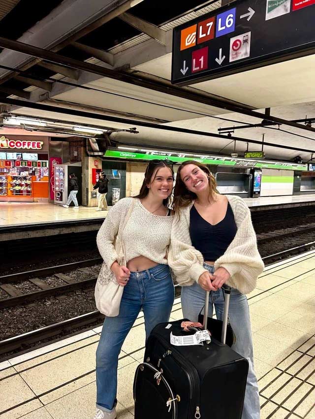
When you enter, you will insert your metro card into the ticket validation machine. As long as you're within zone 1 (all of Barcelona) you will be able to use the Autoritat del Transport Metropiliti¡ (ATM) card provided to you by your study abroad program.
The City Bus
Some places in the city are more easily accessible by bus transport. For example, if you are wanting to go to the highly-popular Bunkers del Carmel, there is a bus that takes you much higher than the metro!
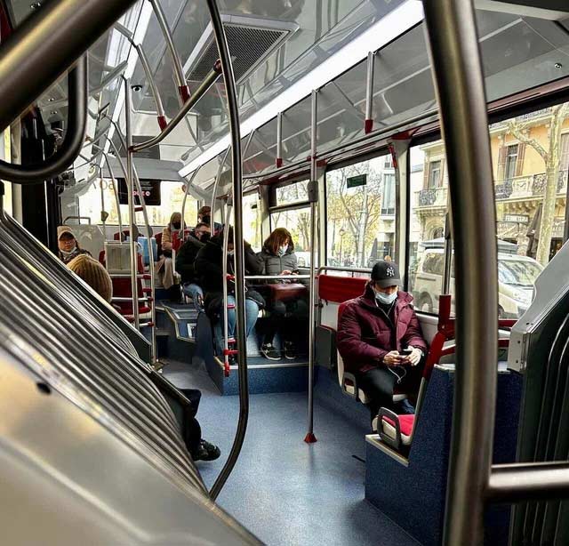
The bus is extremely easy to navigate when compared with the metro. Once at the bus stop, you'll wait for your bus. Many buses pass through the same stops, so be vigilant that the number you're getting on is correct. I've made that mistake countless times and believe me, it is not fun to end up across the city from where you are trying to go. After you've gotten on the bus you'll insert your same transportation card into one of the card validation machines on some of the bus poles toward the front and middle of the bus. When you're one stop away from the destination, press one of the "stop" buttons on the bus. These buttons can be found on bus walls and poles.
Walking
My personal favorite mode of transportation in the city of Barcelona is walking! By wandering the streets you not only orient yourself to the city's geography, but also experience the city's energy and culture. Living and participating in a walkable city such as Barcelona has been shown to increase social interaction, reduce crime, enhance community, and help keep us all active.
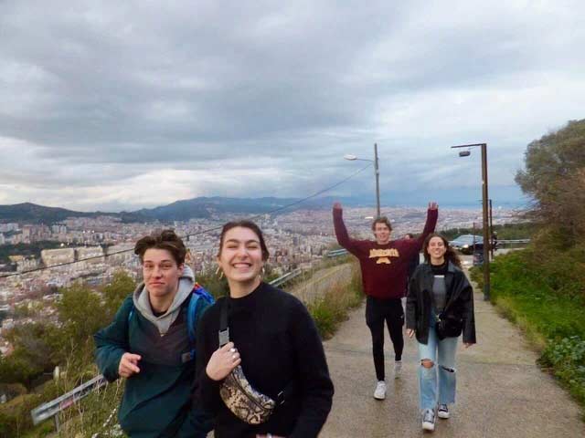
In my opinion, walking is by far the best way to familiarize yourself with the beautiful city of Barcelona. A few walks that I recommend in the city are through Parque de la Ciutadella, up the hill to Bunkers del Carmel, and wandering the streets of your neighborhood. Even if you don't have a final destination, you now know how to use transportation to get there!
(Translation: Have a good trip and arrive safely!)
